19th c. posts (modern schematic)
Russian America — named settlements
Modern locator compiled from the Russian-period post list (Kodiak to Fort Ross).
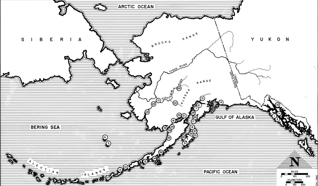
19th c. posts (modern schematic)
Russian America — named settlements
Modern locator compiled from the Russian-period post list (Kodiak to Fort Ross).
Modern schematic · not a period original
What this plate depicts
Named Russian-period posts from Unalaska and Kodiak through Sitka (Novo-Arkhangelsk) and down the coast. Fort Ross sits at the southern end, in present-day Sonoma County, California (founded 1812, sold 1841). This image is a modern locator of those names. It is not the 1817 Russian naval chart of Fortress Ross to Bodega, and not Lindenkohl’s 1867 Coast Survey cession sheet. Record it as a finding-aid for the posts, then compare the California end with Disturnell (Mexico still drawn to the Pacific in 1847) and with the 1857 Coast Survey of the Bay.
- Source
- Wikimedia Commons file “Russian America Settlements Map.png” — a later schematic, not a Russian-period chart.
- License
- Used here as a labeled schematic. Not a substitute for an 1817 or 1867 original sheet.
Compare with the next
Record this sheet first. Then set it beside another plate. Nothing is redrawn to make them agree.