1755
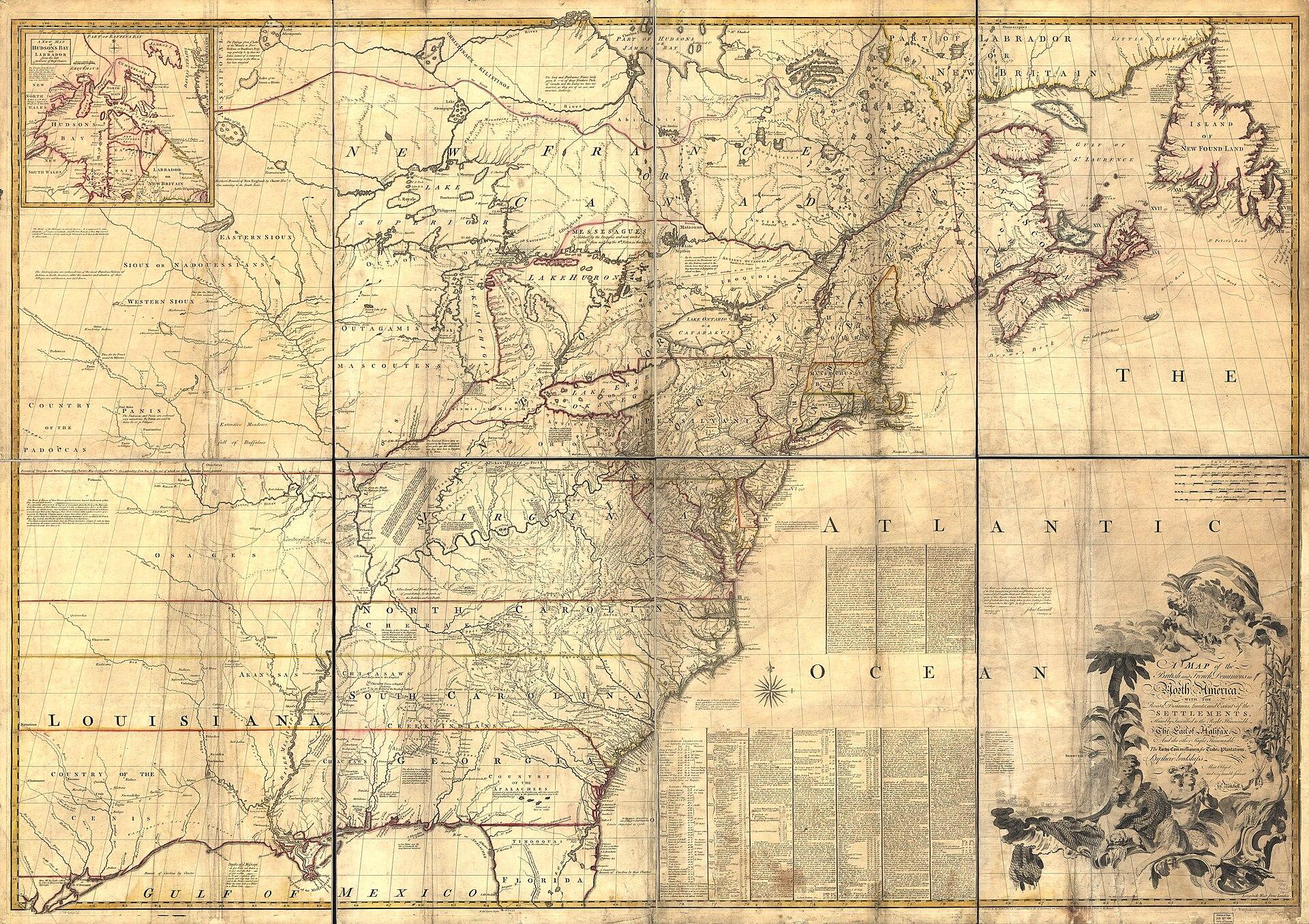
Map of the British and French Dominions in North America
John Mitchell; engraved by Thomas Kitchin
1755
Map of the British and French Dominions in North America
John Mitchell; engraved by Thomas Kitchin
Period original
What this plate depicts
A claims map of eastern North America: British and French dominions, roads, distances, limits, and extent of settlements, inscribed to the Earl of Halifax and the Lords Commissioners for Trade and Plantations. Native nations appear as names inside imperial geography. The west coast of the continent is outside this sheet’s job. This is colonial jurisdiction as London printed it in 1755, not a Native-authored map of nations.
- Source
- Library of Congress; published for Jefferys and Faden, London, 13 February 1755.
- License
- Public domain.
Compare with the next
Record this sheet first. Then set it beside another plate. Nothing is redrawn to make them agree.