Research branch · dated evidence

Maps

A chronological stream of original historical maps. Dates are primary here. Do not redraw an old map to make it fit The Living Realm. Show the original, record what it depicts, then set it beside the next one.

Seven period originals. Two later schematics, labeled as such. Nothing is corrected silently — Disturnell’s El Paso error stays on Disturnell; island California stays an island until a later plate draws a peninsula. Photographs of later cities are a different shelf. Photographic Breadcrumbs.

09 / 10

Settlement expansion

Coast Survey after the gold rush: a measured harbor, a city on the cove, a new name.
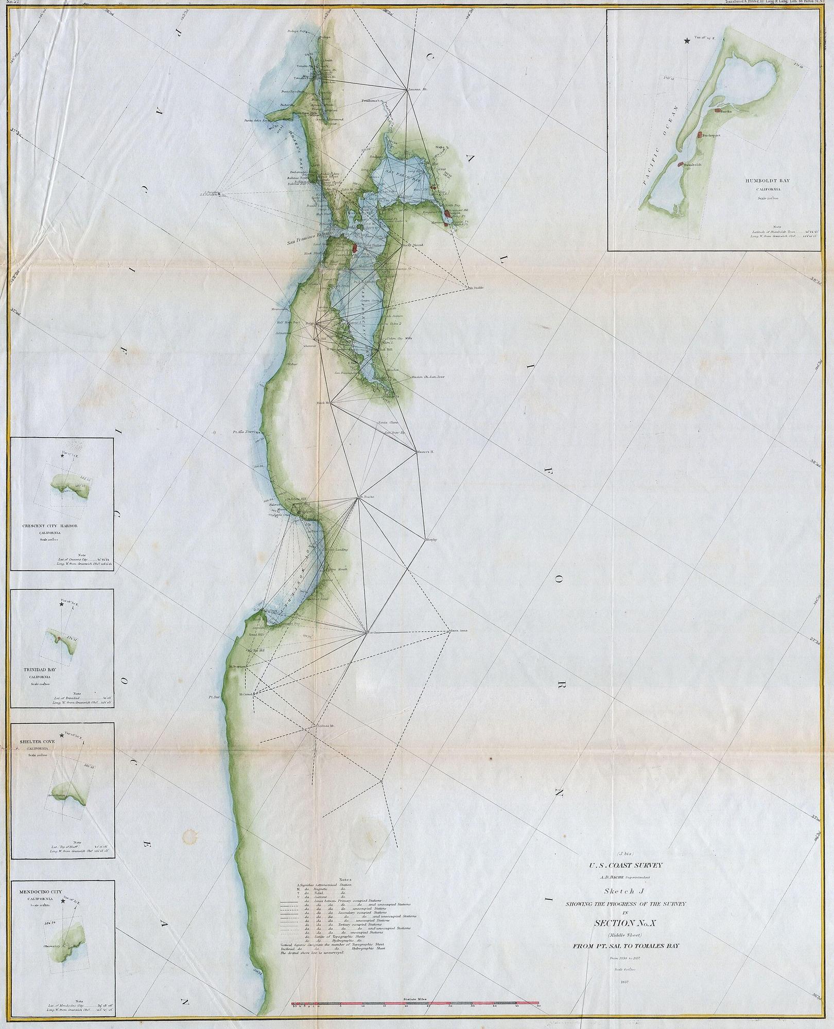
U.S. Coast Survey — San Francisco Bay and the California coast, 1857. U.S. Coast Survey, under A. D. Bache.

1857

U.S. Coast Survey — San Francisco Bay and the California coast

U.S. Coast Survey, under A. D. Bache

Period original

What this plate depicts

A surveyed California coast: triangulation, shoreline, San Francisco Bay, depth of survey notes. The peninsula is attached to the mainland. The bay is a measured harbor, not a gulf that makes California an island. Issued about eight years after the gold-rush population jump; related city sheets of this survey generation show San Francisco still hugging the waterfront, with Yerba Buena Cove already in the process of being filled. The name on the American survey is San Francisco, not Yerba Buena (the pueblo was renamed in 1847).

Source
Geographicus / Wikimedia; Coast Survey sketch of Section X, Point Sal to Tomales Bay, 1857.
License
Public domain (U.S. government work).

All plates

Year order. Open a plate, read what it depicts, then compare it with the next original.

  1. 1507Universalis CosmographiaOriginal
  2. c. 1650California as an islandOriginal
  3. 1755Map of the British and French Dominions in North AmericaOriginal
  4. 1755A New and Accurate Map of North AmericaOriginal
  5. 1847Mapa de los Estados Unidos de MéjicoOriginal
  6. 1848 outcome (modern schematic)Mexican CessionSchematic
  7. 1857U.S. Coast Survey — San Francisco Bay and the California coastOriginal
  8. 19th c. posts (modern schematic)Russian America — named settlementsSchematic
  9. 1877Distribution of Indian tribes in CaliforniaOriginal